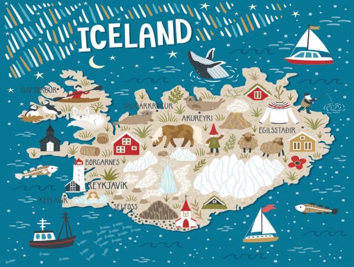
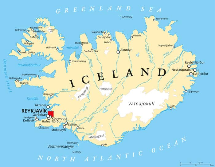
The capital area gets most the attention in Iceland; this is due part and parcel because its population is more than the rest of the country combined. So why don’t we show some love to the other seven regions of Iceland? Pull out your map for a quick rundown of the eight regions of Iceland, and also the main sightseeing attractions to see in each of them.
The Capital Region
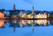
The capital region is very self-explanatory; it is the region where the capital is located. The capital is the 2nd smallest region, concerning physical area, but close to two-thirds of Iceland’s population lives here. This southwestern region of Iceland is obviously most famous for the capital: Reykjavik. Almost all of the country’s political and financial dealings occur here. The area is split into six municipalities that elect its own council. These municipalities are deeply connected to each other and often overlap.
Southern Peninsula
If you have ever flown to Iceland, then you have been to the southern peninsula. This is where the Keflavík airport is located, and Keflavík is, by extension, the seat of government for this region. With over 20,000 inhabitants, this region is one of the densest population centers in Iceland. Volcanic activity dominates the landscape here and rolling lava fields stretch as far as the eye can see through some parts.
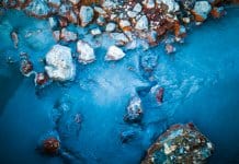
The biggest attraction in the southern peninsula of Iceland is the Blue Lagoon. While it may be a little commercial for this list, it is definitely the most visited area in the region behind the airport. Thousands of visitors flock to the healing waters of this lagoon to rest, relax, and maybe even wear an algae and mineral face mask. Stop at the Blue Lagoon if you get the chance during your Icelandic trip.
Western Region
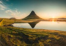
The western region and Snaefellsnes peninsula are home to the world-famous Snaefellsjökull National Park, the Snaefellsjökull glacier, and the picturesque Kirkjufell mountain and Kirkjufellsfoss waterfall. Icelanders often refer to this area as “Iceland in a Nutshell.” Within a relatively small area, you are exposed to a microcosm of Iceland’s incredibly diverse landscapes; glaciers, waterfalls, coastline, and volcanic activity are all present here. The western region may statistically be one of the smallest zones, but it has more beauty than you could ever imagine. Like the eastern region, the western region also has a very robust and information-filled website. If you want to see a sample of the stunning landscapes, I am referring to, visit their website. Their site is chock-full of breathtaking photos. Also, side note, this region is only a few hours drive north of Reykjavik, making it a great place to take a day trip.

Westfjords
The Westfjords are one the most interesting areas in Iceland, and are the least densely populated. With about 8,000 year-round inhabitants, the Westfjords can seem desolate. Sitting within close proximity to the Arctic Circle, Ísafjörður, the seat of power in this region, is statistically one of the coldest cities in Iceland. There isn’t much to do out here by way of shopping or entertainment. But, the open landscapes and small local population mean that you can enjoy all that Iceland has to offer in peace. My recommendation is to go puffin watching at the Látrabjarg cliffs. These are some of most fertile puffin breeding grounds in the world. Bring a camera and binoculars so you can see these curious seafaring birds in action. At the top of this incredibly high cliff, you’ll have reached Europe’s westernmost point.
Northwestern Region
The northwestern region is similar to the Westfjords; not much by way of entertainment or commerce. However, the landscape, like the Westfjords, is absolutely stunning. There are a ton of outdoor activities to enjoy in this region; from the salmon-filled turquoise blue waters of the river Blanda to strange-looking mountain of Spákonufell, there is plenty of hiking and sightseeing to do. Check out the region’s official website for a full list of sights to see.
Northeastern Region
Akureyri is often called the northern capital of Iceland, so it is only fitting that it is the seat of power for the northeastern region. Akureyri is a small fishing village, but they have a breathtaking bay and burgeoning Icelandic craft beer scene.
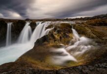
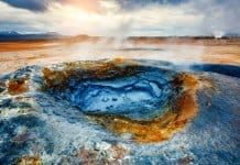
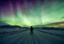
The northeast of Iceland is dominated by waterfalls and geothermal ranges. Goðafoss Waterfall (“Waterfall of the Gods”) has been captivating Icelanders and tourists alike for hundreds of years. Many Icelandic historians have remarked on the serene waterfall. This region is also the picture-perfect location to catch the Northern Lights if you can brave the winter cold up north. More notable attractions here are Lake Mývatn and its geothermal area, the famous Askja caldera, Dettifoss waterfall, and Húsavik, Iceland’s whale watching capital. Bring a coat and a camera. The views, waterfalls, and geothermal zones will leave you speechless.
Eastern Region
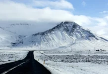
The eastern region is home to my favorite mountain in Iceland: Mt. Snæfell. This enormous mountain is the tallest peak, outside the glacier regions, in all of Iceland. The views from on top of this peak are second to none, and the hike itself is not that bad. If you are into easy hikes, I would recommend going to see the Fardagafoss or Hengifoss waterfalls. Besides that, this region is packed to the gills with plenty of hiking routes, coastal villages, and natural wonders. They have an excellent website with plenty of resources. I would try to summarize the beauty of this region, and in my opinion, it is often overlooked by tourists, so I will just let the photos on the east.is website do it justice.

Southern Region
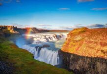
Finally, we have the southern region of Iceland, which is the crown jewel of sightseeing destinations. This western part of the southern region is home to the Golden Circle, a fantastic day trip driving route that takes you to some of Iceland’s most popular destinations. You start at Thingvellir National Park, head up to Geysir (an ancient and supremely powerful geothermal geyser, from which the word is derived from) and head to Gullfoss (Golden Waterfall). With its canyon walls that dive 70 meters below, this waterfall is considered to be one of the most beautiful in Iceland.
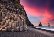
Further east along Iceland’s Ring Road you’ll find Seljalandsfoss and Skógafoss waterfalls, two of the country’s most popular ones. Eventually, you’ll find your way to the black sand beaches of Vik and the Reynisfjara. If you have caught photos or videos of Iceland on social media, they most likely came out of this region. Continue on your southern route towards Europe’s largest glacier, which resides in Vatnajökull National Park in southeastern Iceland. Not only can you hike the glacier, you’ll also find the famed Jökulsárlón glacier lagoon, Iceland’s Diamond Beach, and Svartifoss (black falls) waterfall.
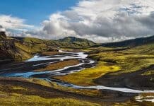
The south is also home to Landmannalaugar and the Laugavegur Hiking Trail in the Fjallabak Nature Reserve in Iceland’s Highlands.
Iceland on a Map: The Country’s Eight Regions
These are the eight regions that make up Iceland. This article aims to provide a little context to first-time visitors to the country. In no way can I do each region justice in this brief article. My advice if you are coming to Iceland for the first time, go off the beaten path. Check out the eastern region or go exploring into the Westfjords, mainly because tourists never make it out that way. Have a different experience from everyone else, and I guarantee your Icelandic adventure will stand apart from the crowd.
